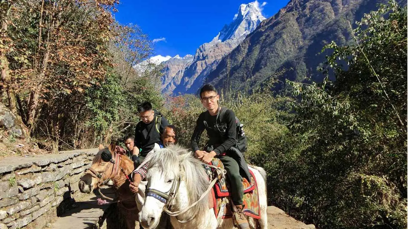
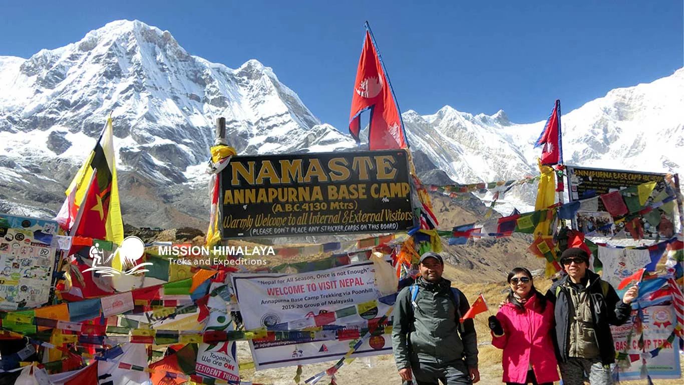
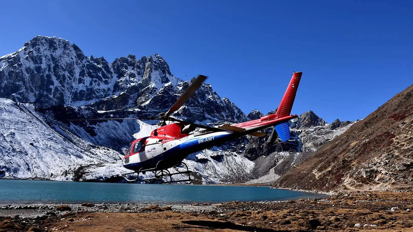
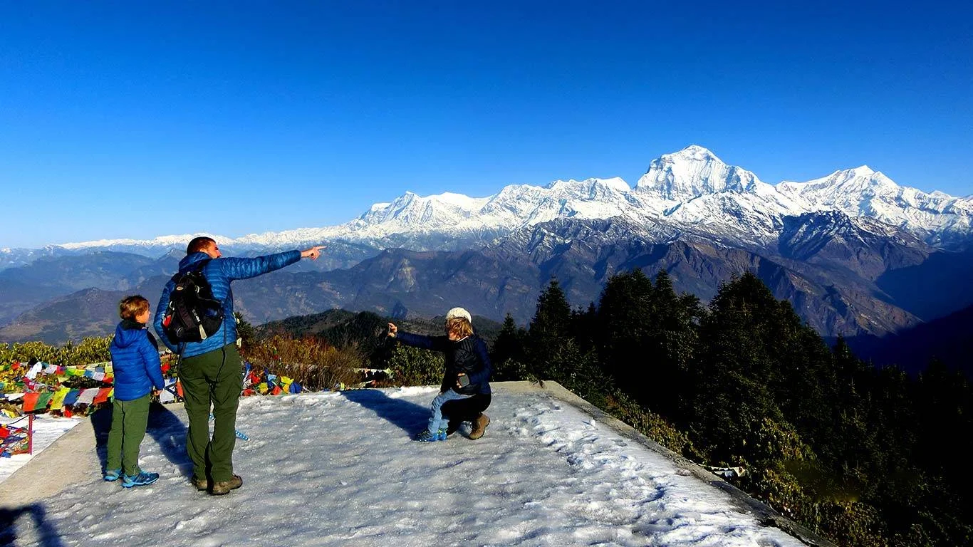
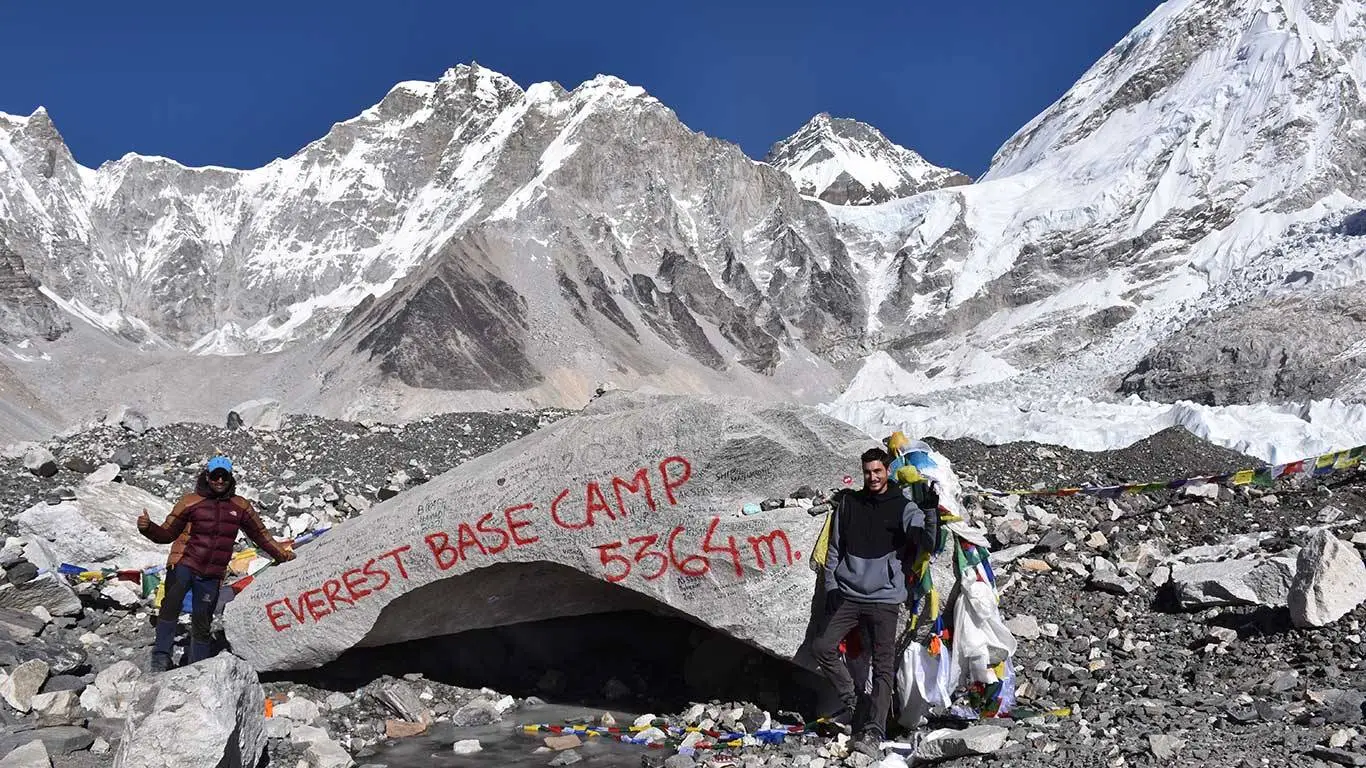
There is no doubt that the Annapurna Base Camp (ABC) is one of the dream destinations for trekkers. It is that famous destination, that goes through the thrilling and exciting trails of the Himalayas. Especially, the combination of the stunning mountain scenery, rich cultural experiences, and a sense of adventure, makes it one of Nepal’s most popular trekking routes.
Reaching the maximum height of 4130 meters, trekkers will get to experience a solid adventure. So, to fully enjoy and prepare for the trek, it’s essential to understand the Annapurna base camp elevation profile, altitude gain, and distance involved. Therefore, in this blog, we will let the trekkers and adventurers know the dynamics of the trek and make them aware of the challenges they may face throughout the trek.
Overview of the Annapurna Base Camp Trek
The Annapurna Base Camp trek typically takes between 7 to 12 days, depending on the chosen route and pace. Starting from Nayapul, a town near Pokhara, the trek ascends to the base camp, which is situated at an altitude of 4,130 meters (13,549 feet). The route passes through cultural villages, terraced fields, green rhododendron forests in the lowlands, and alpine landscapes in the highlands, that offer a diverse range of environments.
Annapurna Base Camp Elevation Profile and Altitude Gain
The Annapurna base camp elevation profile involves significant altitude changes, which trekkers need to be aware of to prepare adequately. Here’s a detailed breakdown of the major stops along the route, their respective altitudes, and the altitude gain between them:
Nayapul (1,070 meters / 3,510 feet)
Distance: The trek starts here, with a relatively flat beginning as you head towards Birethanti.
Tikhedhunga (1,540 meters / 5,052 feet)
Distance from Nayapul: Approximately 9 km
Altitude Gain: 470 meters
After a few hours of trekking from Nayapul, you’ll reach Tikhedhunga. It is often the first overnight stop.
Ulleri (1,960 meters / 6,430 feet)
Distance from Tikhedhunga: Approximately 3 km
Altitude Gain: 420 meters
A steep ascent via stone steps takes you to Ulleri. This destination offers you breathtaking views of the surrounding valleys.
Ghorepani (2,850 meters / 9,350 feet)
Distance from Ulleri: Approximately 10 km
Altitude Gain: 890 meters
Continuing from Ulleri, you’ll reach Ghorepani. This is a popular stop known for its panoramic sunrise views from Poon Hill.
Tadapani (2,630 meters / 8,628 feet)
Distance from Ghorepani: Approximately 8 km
Altitude Gain: -220 meters (descent)
Descending from Ghorepani, you’ll trek through rhododendron forests to reach Tadapani.
Chhomrong (2,170 meters / 7,120 feet)
Distance from Tadapani: Approximately 9 km
Altitude Gain: -460 meters (descent)
The trek continues to Chhomrong, with beautiful views of Annapurna South and Machapuchare (Fishtail).
Dovan (2,600 meters / 8,530 feet)
Distance from Chhomrong: Approximately 10 km
Altitude Gain: 430 meters
As you move higher, you’ll pass through Bamboo and reach Dovan.
Deurali (3,230 meters / 10,597 feet)
Distance from Dovan: Approximately 7 km
Altitude Gain: 630 meters
The trail becomes steeper as you approach Deurali.
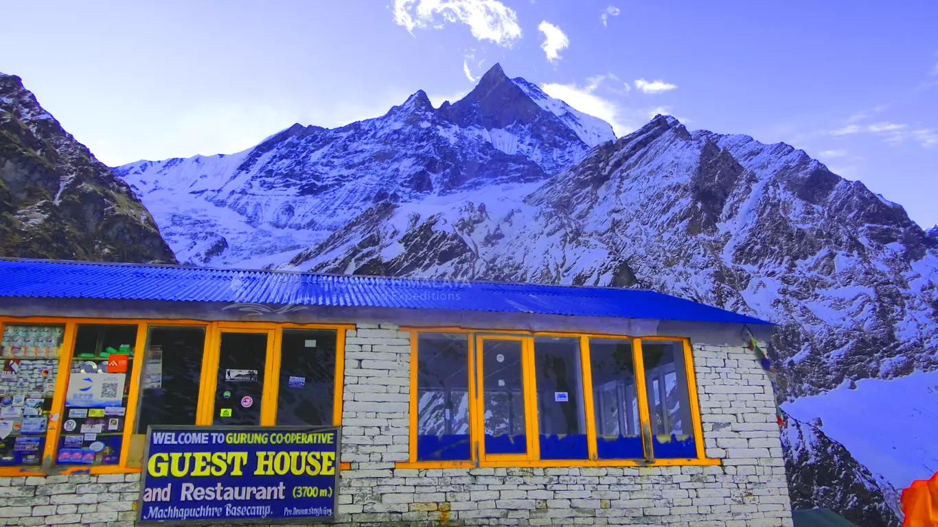
Machapuchare Base Camp (3,700 meters / 12,139 feet)
Distance from Deurali: Approximately 5 km
Altitude Gain: 470 meters
The next major stop is Machapuchare Base Camp, providing mesmerizing views of the surrounding peaks.
Annapurna Base Camp (4,130 meters / 13,549 feet)
Distance from Machapuchare Base Camp: Approximately 3 km
Altitude Gain: 430 meters
Finally, you’ll reach Annapurna Base Camp, the ultimate destination of the trek.
Distance Breakdown
The Annapurna Base Camp trek distance varies depending on the exact route taken, but it typically ranges from 70 to 110 kilometers round trip. Here is a more detailed distance breakdown:
- Nayapul to Tikhedhunga: 9 km
- Tikhedhunga to Ulleri: 3 km
- Ulleri to Ghorepani: 10 km
- Ghorepani to Tadapani: 8 km
- Tadapani to Chhomrong: 9 km
- Chhomrong to Dovan: 10 km
- Dovan to Deurali: 7 km
- Deurali to Machapuchare Base Camp: 5 km
- Machapuchare Base Camp to Annapurna Base Camp: 3 km
- Total Ascent Distance: Approximately 64 km
- Total Descent Distance: Approximately 64 km (similar route back)
Annapurna Base Camp Trek Altitude Map
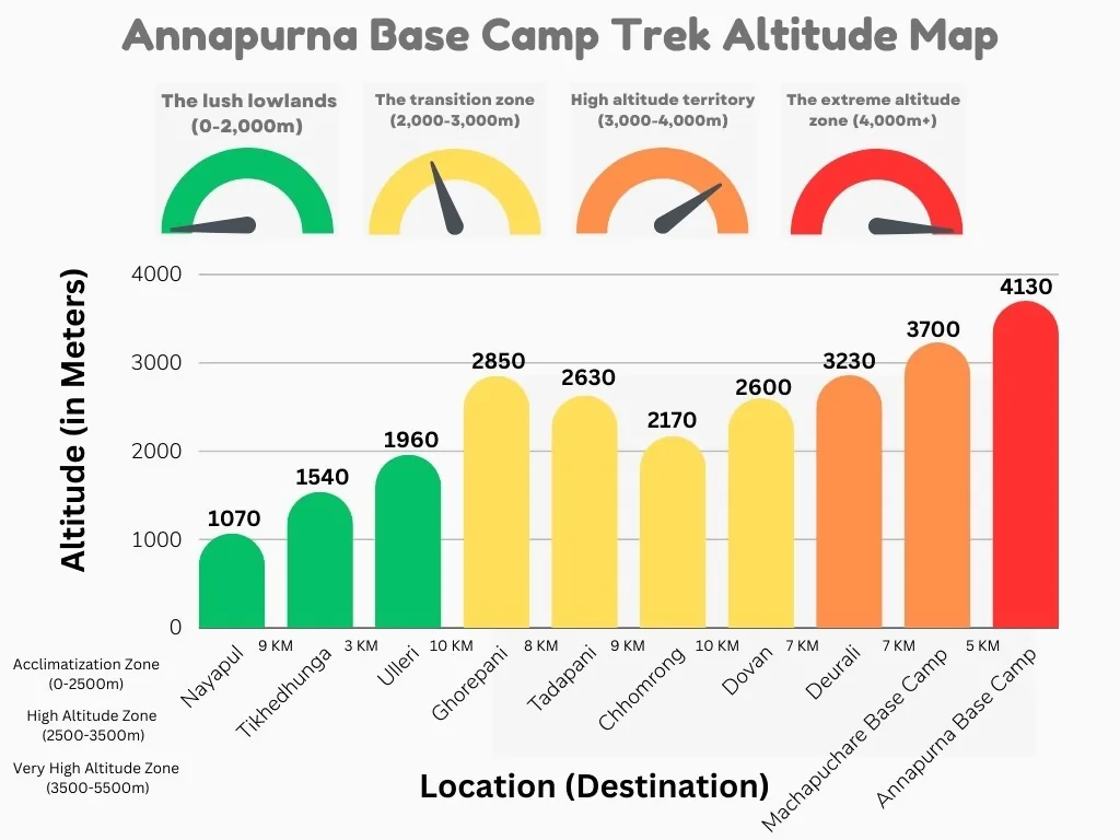
From which elevations can you see the different mountains in the Annapurna base camp trek?
Here’s a table detailing the elevations and corresponding mountain views along the Annapurna Base Camp (ABC) trek:
| Elevation (meters) | Key Mountains Visible |
|---|---|
| 1,050 | Annapurna II, Annapurna III, Machapuchare (Fishtail) |
| 1,700 | Annapurna South, Hiunchuli, Machapuchare |
| 2,100 | Annapurna South, Machapuchare, Hiunchuli |
| 2,750 | Annapurna South, Machapuchare, Hiunchuli |
| 3,230 | Annapurna South, Machapuchare, Hiunchuli, Annapurna I |
| 3,540 | Annapurna South, Machapuchare, Hiunchuli, Annapurna I |
| 4,130 (ABC) | Annapurna South, Annapurna I, Machapuchare, Hiunchuli |
Comparison Table of Altitudes of Best Treks in Nepal
While considering the Annapurna base camp elevation, you may also be considering doing the other treks in Nepal. So, to help you compare the treks, we have collected data on the height and distance of the popular treks in Nepal. Check it out-
| Trek Name | Starting Elevation (meters) | Highest Elevation (meters) | Total Distance (km) | Total Days |
|---|---|---|---|---|
| Annapurna Base Camp Trek | 1,070 | 4,130 | 70-100 | 7-12 |
| Everest Base Camp Trek | 2,640 | 5,364 | 130-150 | 12-16 |
| Annapurna Circuit Trek | 800 | 5,416 | 160-230 | 12-21 |
| Manaslu Circuit Trek | 700 | 5,160 | 177-200 | 14-20 |
| Langtang Valley Trek | 1,430 | 3,870 | 70-80 | 7-11 |
| Kanchenjunga Base Camp Trek | 1,200 | 5,143 | 150-160 | 16-24 |
| Gokyo-Ri Trek | 1,550 | 5,357 | 60-70 | 9-13 |
| Upper Mustang Trek | 2,800 | 4,200 | 120-170 | 12-18 |
FAQs
How long does the Annapurna Base Camp trek take?
The duration of the Annapurna Base Camp trek varies depending on the route and pace. Typically, it takes between 7 to 12 days to complete the round trip. This includes acclimatization days and rest stops.
What is the highest point of the Annapurna Base Camp trek?
The top height of the Annapurna Base Camp trek is Annapurna Base Camp itself, which is situated at an altitude of 4,130 meters (13,549 feet).
What is the elevation gain during the Annapurna Base Camp trek?
The elevation gain from the starting point at Nayapul (1,070 meters / 3,510 feet) to Annapurna Base Camp (4,130 meters / 13,549 feet) is approximately 3,060 meters (10,039 feet).
How does the Height of the Annapurna base camp trek change on the first day?
On the first day, the trek typically goes from Nayapul (1,070 meters / 3,510 feet) to Tikhedhunga (1,540 meters / 5,052 feet), resulting in an elevation gain of 470 meters (1,542 feet).
How long does it take to reach Annapurna Base Camp from Machapuchare Base Camp?
It typically takes around 2 to 3 hours to trek from Machapuchare Base Camp to Annapurna Base Camp.
What is the average daily hiking distance on the Annapurna Base Camp trek?
The average daily hiking distance varies but typically ranges from 8 to 15 kilometers (5 to 9 miles) per day, depending on the specific segment of the trek and individual pacing.
Is the altitude gain gradual or steep on the Annapurna Base Camp trek?
The altitude gain on the Annapurna Base Camp trek is a mix of gradual and steep sections. For example, the ascent from Nayapul to Tikhedhunga and then to Ghorepani is relatively steep, while other sections, such as from Ghorepani to Tadapani, involve descents and more gradual gains.
How does altitude affect the trekking pace and distance covered each day?
As you ascend to higher altitudes, your trekking pace may slow down due to reduced oxygen levels and the increased physical exertion required. It is essential to take this into account and allow for shorter distances and more frequent rest stops at higher elevations.
Conclusion
Even though Annapurna is one of the tallest mountains on the planet, the Distance and elevation to reach its base camp is slightly less in comparison to the other treks of the country. So maybe, for this reason, thousands of trekkers and adventurers are attracted to this majestic destination.
However, keeping its popularity aside, we want to tell you that preparing yourself to overcome the challenges of the adventure is very important. With important information like elevation, altitude gain, and distance of the trek, we think that you can realize and modify a lot of things about this trekking journey. So, with this information, we hope that you learned a lot regarding the Annapurna base camp elevation, altitude, and distance which ultimately enables you to change the itinerary as per your need.
Furthermore, you need to get ready and prepare yourselves to go on Annapurna Base Camp Trek. Also, to get to the ultimate destination on your own, you’ll have to manage a variety of processes. Therefore by helping such trekkers and adventurers with such things, we make their job easy.
So, if you have any questions or concerns about your trek to Annapurna base camp or any other base camp trek, you can contact us by phone at +977-9841965533 or via landline at +977-14700252. Alternatively, you can also contact us through email at info@meropsychologist.com or by sending a message on our WhatsApp. Happy Travels!
Birendra Duwadi by profession a trekking and tourist guide and an enterpreur whose passion is trekking in the himalayas. Started Mission Himalaya Treks in 2015 with a new vision to introduce Nepal's Himlayas to the world. His vision is to explore and documentation new trekking routes . Birendra leads Mission Himalaya, a company that change the qualities of trekking in Nepal.


